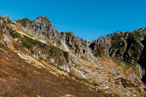
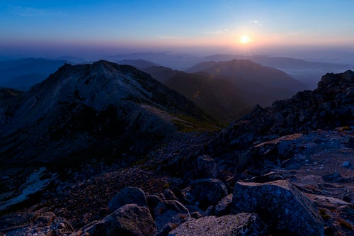
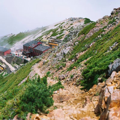
View from Directly Below Mount Naka, the Highest Peak on Mainland Kyushu (Oita Prefecture)Free Stock Photo from Japan
About This Photo
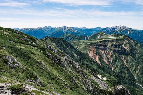
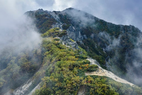
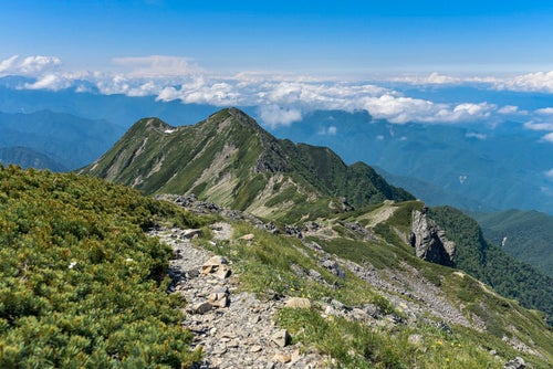
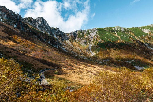
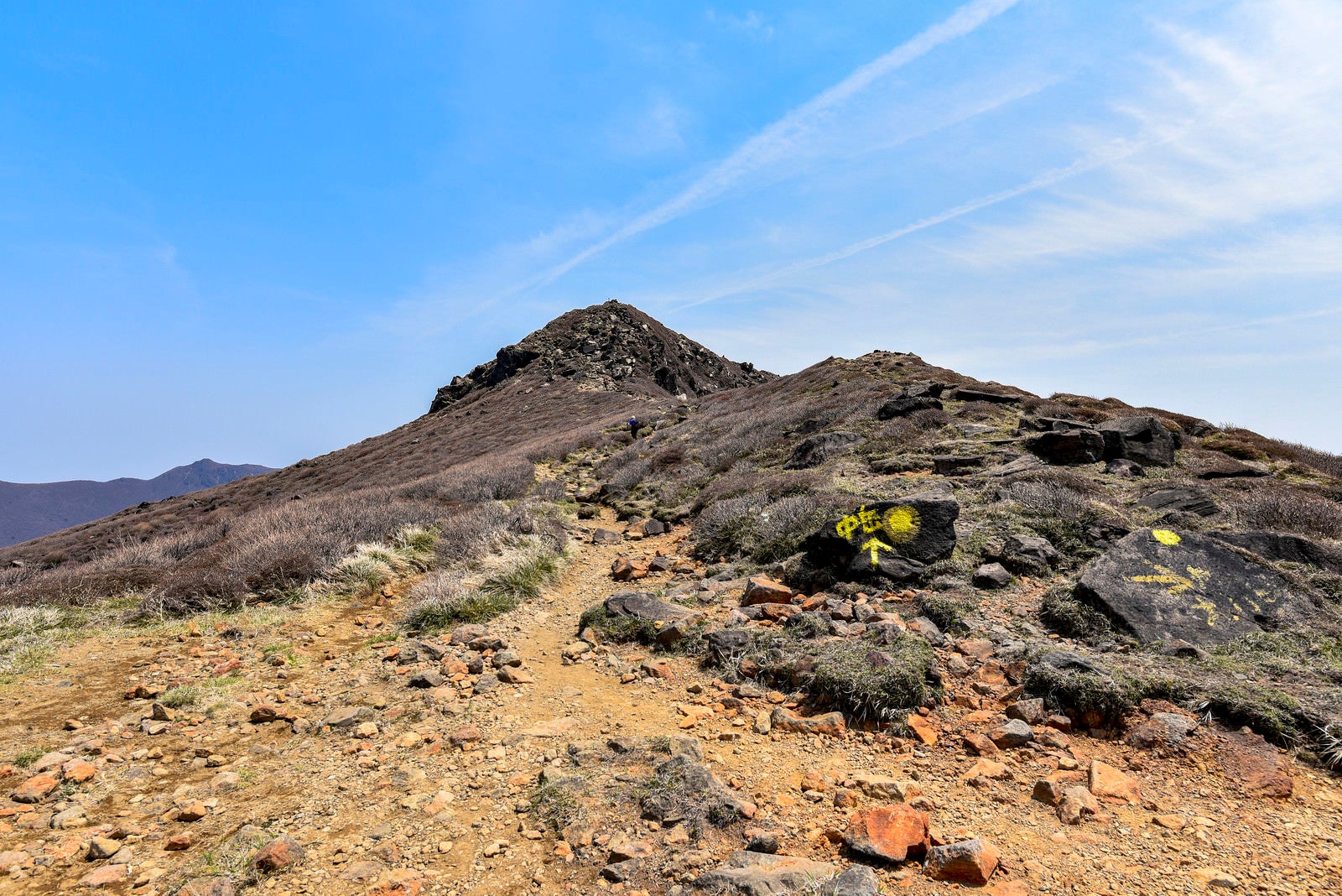
This is a photo of the rugged ridge area below the highest peak of Kyushu, Mt. Nakadake. The image shows the craggy rocky terrain and the brown hiking trail, with a beautiful contrast of blue sky and clouds. This image is suitable for use on websites, blo