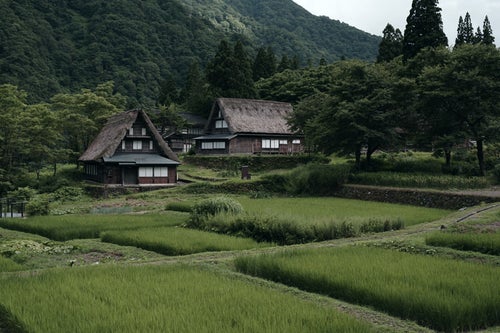
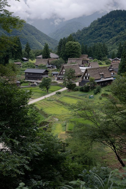
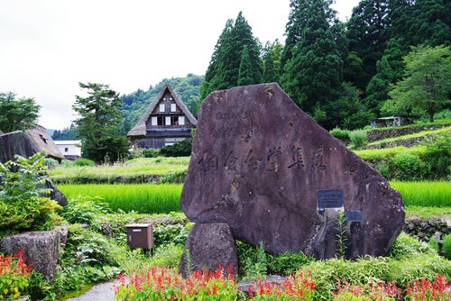
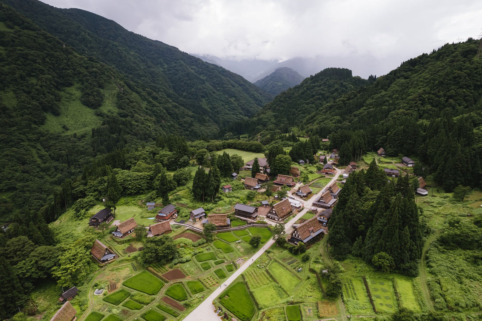
Aerial Drone Footage of the Village from Ainokura ObservatoryFree Stock Photo from Japan

peaceful, World Heritage Site, Gokayama Gassho-zukuri Villages, Nanto City, Toyama Prefecture, Japan, Showa era, farmland, countryside, Ainokura Village, aerial photography, village

Aerial view of the Gasshō-zukuri farmhouses and the green, pastoral landscape of the Ainokura settlement in the mountain valley

Cropped materials are also subject to the Terms of Use.

About This Photo

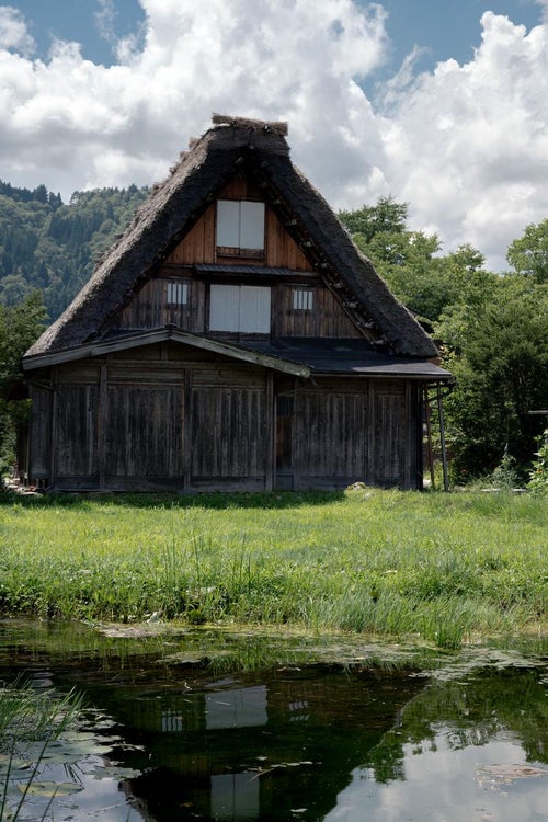
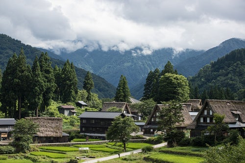
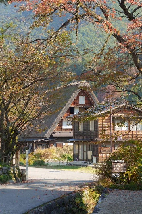
This is a collection of photographs showcasing the Gasshō-zukuri farmhouses and the rural landscape of the Ainokura settlement, which is nestled in the mountainous region. The traditional thatched-roof buildings are set amidst a lush, green valley, with n

ID Number
75269
Published Date
Color
  • green
Image Size
  • 5464 px × 3640 px

Free Download (No Registration Required)

The photo material of 'Aerial Drone Footage of the Village from Ainokura Observatory' is free for both commercial and non-commercial use. No registration required. Please read the "Terms of Use" before downloading.

Main usage examples include blog headers, YouTube thumbnails, presentation materials, and editorial content.

Keeping it free. Your support is needed

We are seeking support from our community to ensure the continuous operation of this website. Any contribution, large or small, is welcome. Would you consider making a donation to PAKUTASO via PayPal? Your support would mean the world to us.

Explore Free Japanese Stock Photos

From cherry blossoms to samurai, Mt. Fuji to everyday life — discover authentic Japanese photography you won't find anywhere else.